
The strongest boater apps for US waters in 2026 cover four distinct jobs: navigation and charting, marine weather, fishing intelligence, and marina management. Here are the top options across all four categories, available on iOS and Android:
- Navigation: Navionics Boating, Wavve Boating, Argo App, iNavX Boat Navigation App, Savvy Navvy, Boat Beacon, MarineTraffic, KnowWake
- Weather: Windy.app, Marine Weather Forecast Pro, Buoyweather, NOAA Weather Radar Live, FishWeather
- Fishing: Fishbrain, Deckee, Fish Rules
- Safety and assistance: USCG Boating Safety App, BoatUS, Sea Tow
- Boat ownership and maintenance: Boatyard Pro, Click&Boat App, YachtWorld App, Boat Trader Mobile App
Most run on both iOS and Android, and multi-platform support with varying offline functionality is now a baseline expectation rather than a premium feature.
What Wavve Boating and Navionics actually offer
These two apps dominate the US navigation category, but they serve slightly different boaters.
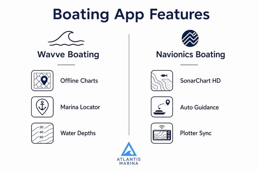
Wavve Boating delivers sea maps, water depths, marina access tools, and boat ramp locators in a clean interface built for recreational day boaters. It is a practical choice for coastal and inland cruising where you want solid nautical data without a steep learning curve.
Navionics Boating goes deeper. The app includes SonarChart HD bathymetry with 1-foot bottom contour detail, Auto Guidance+ for dock-to-dock route planning, NOAA government charts for US and Canadian waters, and offline chart access. It also connects to compatible chartplotters via Plotter Sync, and its AIS integration lets you see nearby marine traffic when paired with a Wi-Fi AIS receiver. Daily chart updates from a global community of boaters keep accuracy high.
Key feature comparison at a glance:
| Feature | Wavve Boating | Navionics Boating |
|---|---|---|
| Offline charts | Yes | Yes |
| SonarChart HD | No | Yes (1-ft contour) |
| Auto Guidance+ | No | Yes |
| Chartplotter sync | No | Yes |
| AIS integration | No | Yes (via Wi-Fi receiver) |
| NOAA charts | Yes | Yes |
| Community edits | No | Yes (ActiveCaptain) |
Pro Tip: Navionics' SonarChart HD is particularly useful for freshwater fishing. The 1-foot contour resolution reveals structure that standard charts miss entirely.
How boating app subscriptions and pricing work
Most boating apps follow a free-to-download model with a paid subscription wall around the features that matter most.
Navionics is free to download for limited use, but full chart access, offline routing, and advanced tools require an annual subscription. Pricing is region-dependent, so check the App Store or Google Play for the current US rate. The Argo App offers a free tier with core navigation and planning, plus a premium tier for advanced features requiring a paid subscription. BoatUS is free to download, with towing assistance tied to a paid BoatUS membership.
What typically sits behind a paywall across most apps:
- Offline chart downloads for use without cellular signal
- High-resolution bathymetry and fishing maps
- Advanced route planning and ETA calculations
- Weather overlays and extended forecasts
- AIS and vessel traffic data
Free tiers usually cover basic map viewing, float plan filing, and community features. For anyone spending serious time on the water, the annual subscription cost on a primary navigation app is worth it.
Can you use your phone as a boat GPS?
Your smartphone can supplement your navigation setup, but the U.S. Coast Guard is direct: apps provide additional safety and planning features, not primary navigation. The core limitation is cellular signal. Most apps depend on a data connection that disappears well before you reach open water.
Safety note: The USCG strongly recommends all boaters carry a marine VHF radio aboard. The USCG Boating Safety App was designed to supplement that equipment, not replace it.
Best practices for using a boater app safely:
- Download offline charts before departure, not at the dock
- Keep a dedicated marine GPS or chartplotter as your primary device
- Carry a VHF radio for emergency communication offshore
- Use the USCG Boating Safety App's Emergency Assistance button, which calls the nearest Coast Guard command center when location services are on
- File a float plan through the app before every trip
The USCG Boating Safety App also covers safety equipment checklists, navigation rules, hazard reporting, and NOAA buoy weather data. It is a government-built tool developed with BastaYa and carries no subscription cost.
How boating apps connect to your onboard equipment
The best navigation apps now function as a hub for onboard hardware, not just a standalone chart viewer.
Navionics connects to compatible chartplotters via Plotter Sync, letting you transfer routes and markers between your phone and your helm display. Its SonarChart Live feature pairs with a compatible sonar unit over Wi-Fi to build real-time depth maps as you move. Boat Beacon and MarineTraffic both pull live AIS data, displaying nearby vessel positions and sending collision alerts when another boat enters your set range. iNavX supports a broad range of chart providers and connects to external GPS receivers for improved position accuracy on tablets without built-in GPS.
For marina-side operations, the integration picture is expanding. Mobile alerts for boat lifts and smart hardware controls now connect directly to marina management platforms, giving dockmasters real-time status on lift operations from a phone. Windy.app and Marine Weather Forecast Pro both layer wind, wave height, and sea state data over chart views, which pairs well with route planning tools in Navionics or Argo. KnowWake adds a layer most navigation apps skip entirely: real-time no-wake zone alerts tied to your GPS position, which matters in busy coastal waterways where speed restrictions change by season.
Atlantis Marina gives marinas a connected boater experience
The apps above handle navigation, weather, and fishing. What they don't cover is the marina side of the trip: slip reservations, billing, vessel records, and the digital relationship between a boater and their home marina.
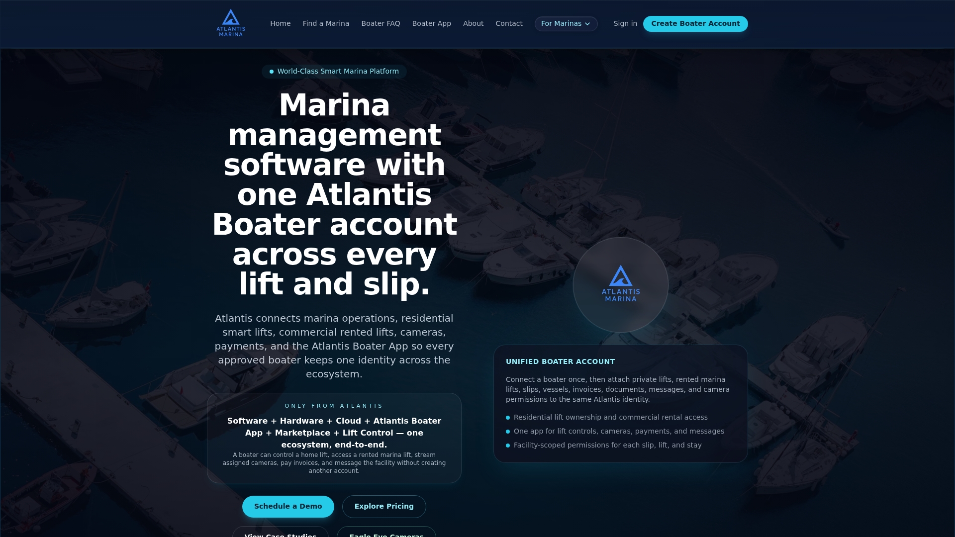
Atlantis Marina fills that gap. The Atlantis Boater Account Platform gives boaters a self-service portal to discover marinas, request or reserve slips, upload insurance and registration documents, sign contracts electronically, and manage payments from one account that travels with them across the Atlantis Marina Network. Marinas using Atlantis Marina get marina reservations software that connects directly to boater accounts, automated billing, smart boat lift controls, and an AI assistant that handles boater questions around the clock. It is a different class of tool from a navigation app, and the right complement to one.
FAQ
What's the best free boating app?
The Argo App and the USCG Boating Safety App are the strongest free options. Argo covers navigation, planning, and community features at no cost, while the USCG app provides safety checklists, float plans, and emergency assistance.
How do I get Navionics for free?
Navionics is free to download and includes a limited trial of its full feature set. After the trial, continued access to offline charts and advanced tools requires an annual subscription with pricing set by region.
How much does the Navionics app cost?
Navionics offers a free download with in-app purchases for a yearly auto-renewable subscription. The exact US price is listed on the App Store and Google Play, as regional pricing applies.
Can I use my phone as a boat GPS?
Yes, with important limits. The U.S. Coast Guard states that smartphone apps supplement but do not replace marine navigation equipment. Cellular signal is unreliable offshore, so download offline charts before departure and always carry a VHF radio.
Key Takeaways
The most effective approach to choosing a boating app is to match each app to a specific job: navigation, weather, fishing, or marina management, rather than expecting one app to cover everything.
| Point | Details |
|---|---|
| Navigation leaders | Navionics Boating and Wavve Boating cover US waters with offline charts and NOAA data. |
| Offline charts matter | Download charts before departure; cellular signal is unreliable on open water. |
| Smartphones supplement, not replace | USCG guidance is clear: apps add safety features but do not replace VHF radios or dedicated GPS. |
| Free tiers have real limits | Core navigation, fishing maps, and offline routing almost always require a paid annual subscription. |
| Atlantis Marina for marina management | The Atlantis Boater Account Platform connects boaters to slip reservations, billing, and marina services in one account. |